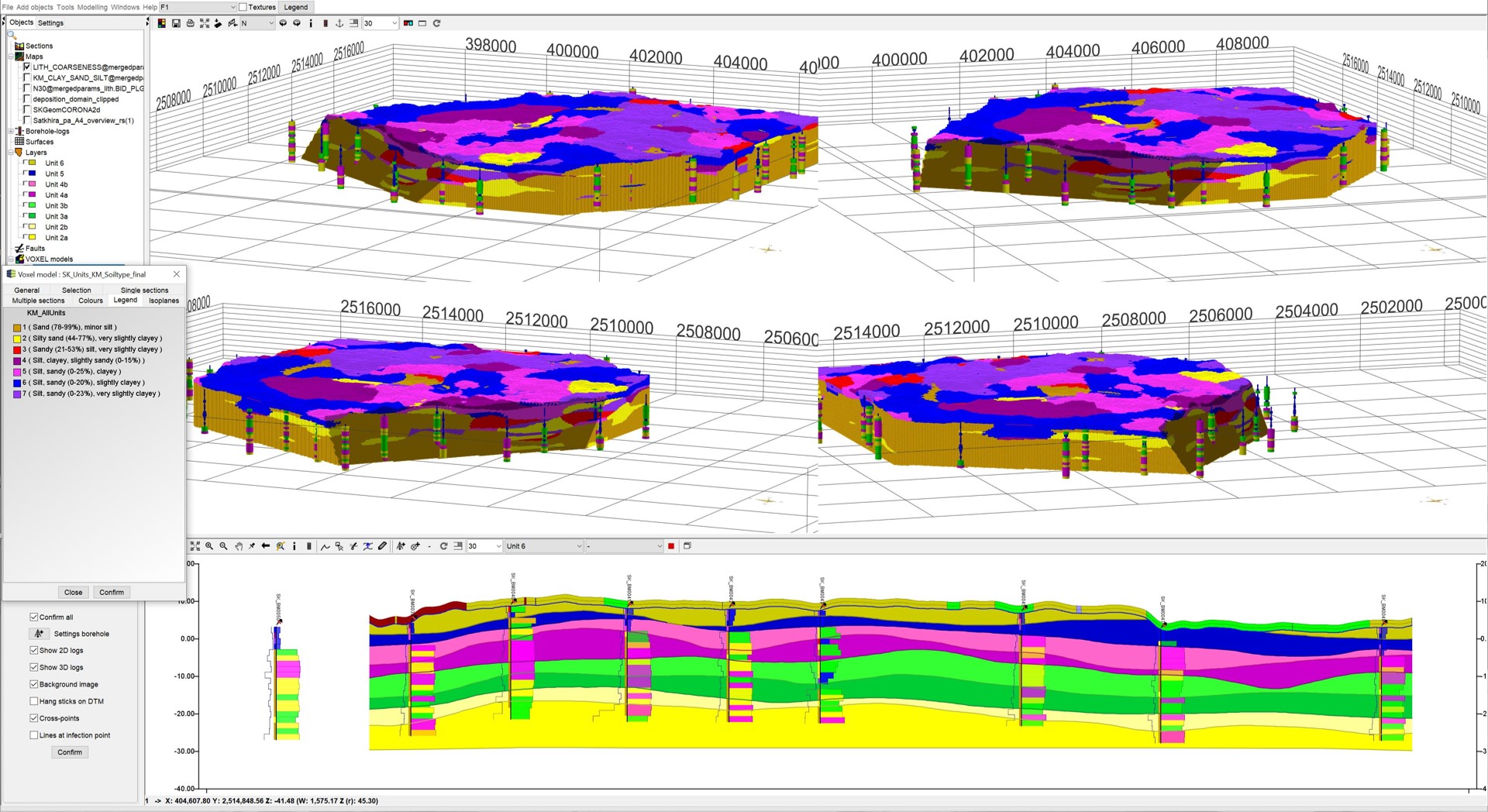
The SubsurfaceViewer is a modelling tool that was specifically developed for the conceptual 3D mapping of unconsolidated sediments (Quaternary, Tertiary) on a regional scale. The development was successively advanced over several decades for specific questions and projects. The programme was thus created by geologists for geologists and therefore offers many practicable and also partially specified solutions.
If you want to use SubsurfaceViewer for the bedrock sector, it is recommended to use other applications in combination, because the functionality of SubsurfaceViewer is limited in this respect. Should we find that the user base of bedrock expands significantly, we may well consider functional extensions in our further development. With the current status, SubsurfaceViewer can only be used as a preprocessor tool in case of unknown layer labeling of the outcrops or for modeling the top layers.
If you have any questions, requests or suggestions, please feel free to contact us. We continue the development steadily and can possibly take up your request for a new program version.
Note about presented data:
This wiki explains the structure and functions of SubsurfaceViewer using freely available data from various open geodata services. Among others there are: NIBIS of the State of Lower Saxony (LBEG), FIS-Broker of the City of Berlin, data of the Hessian State Office for Land Management and Geoinformation, HLNUG (Hessian State Office for Nature, Environment and Geology) and others as marked in the articles.The LBEG and HLNUG have also kindly provided us data for practice examples.
Note on represented models:
In the case of the Demoprojekt, the created model is a synthetic model, which was specially constructed with SubsurfaceViewer for exhibition purposes.
from creation... ...to geological units The second model Satkhira was created with SubsurfaceViewer as part of the German cooperation between the Geological Survey of Bangladesh (GSB) and the German Bundesanstalt für Geowissenschaften und Rohstoffe (BGR) and was provided to present the features of the programme.
.gif)
.gif)
