You can integrate parameters as point data or via depth intervals at locations as tables.
Use the Parameter Manager for this
We will explain it by showing an example.
The basis for this is the ISEG data of the Satkhira project, which was developed in the framework of the German cooperation between the Geological Survey of Bangladesh (GSB) and the German Federal Institute for Geosciences and Natural Resources (BGR). The data were extracted as Excel tables. We show how you could integrate such a dataset with nested tables of data with different geometries together in SubsurfaceViewer.
¶ Load tables
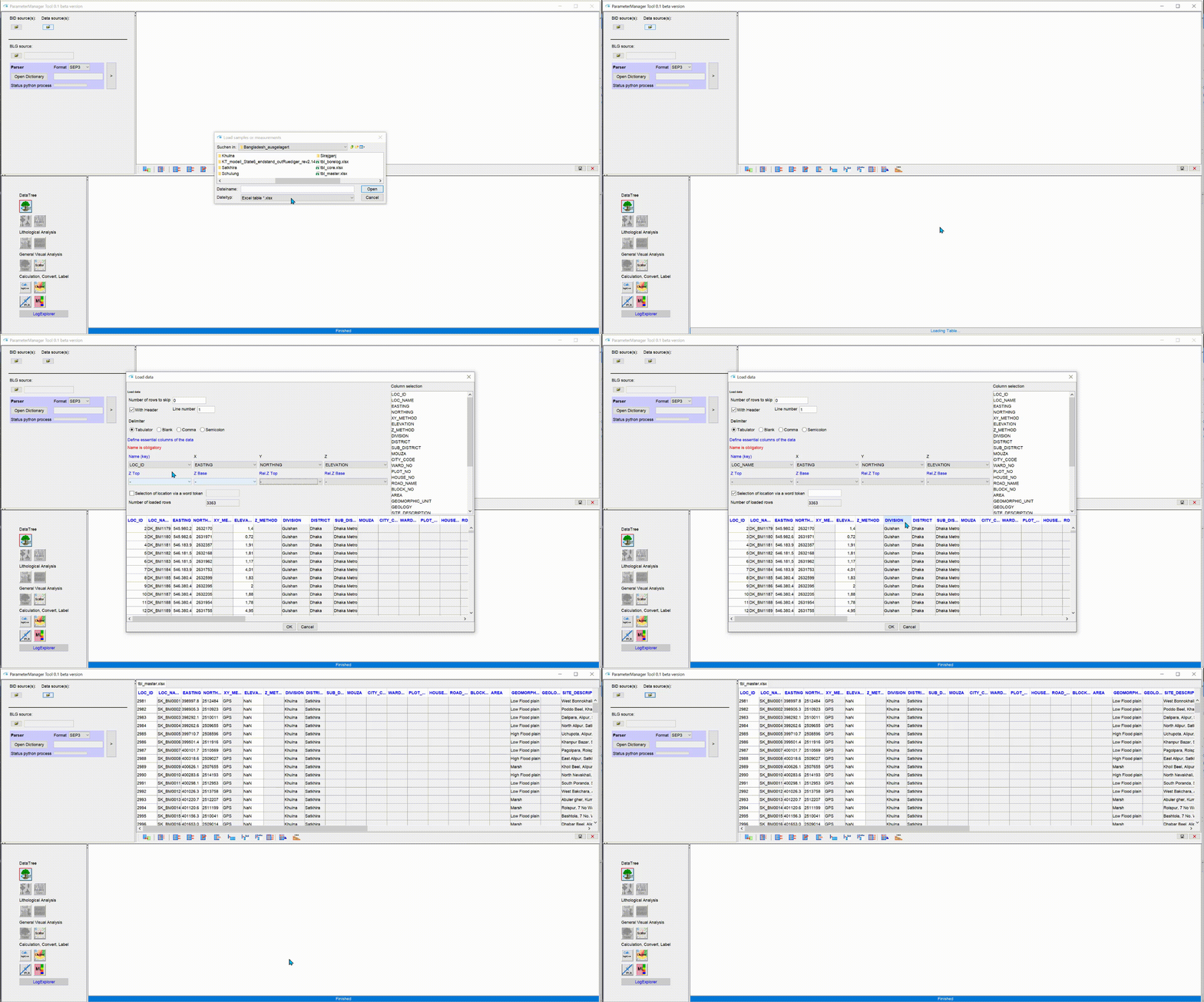
Open the Parameter Manager and load the tables as described there. If you need to preselect for the region, do this first and save the filtered table. This is shown in the example below.

Fill the columns containing georeferencing information directly when loading.
.gif)
¶ Linking tables and creating a data tree
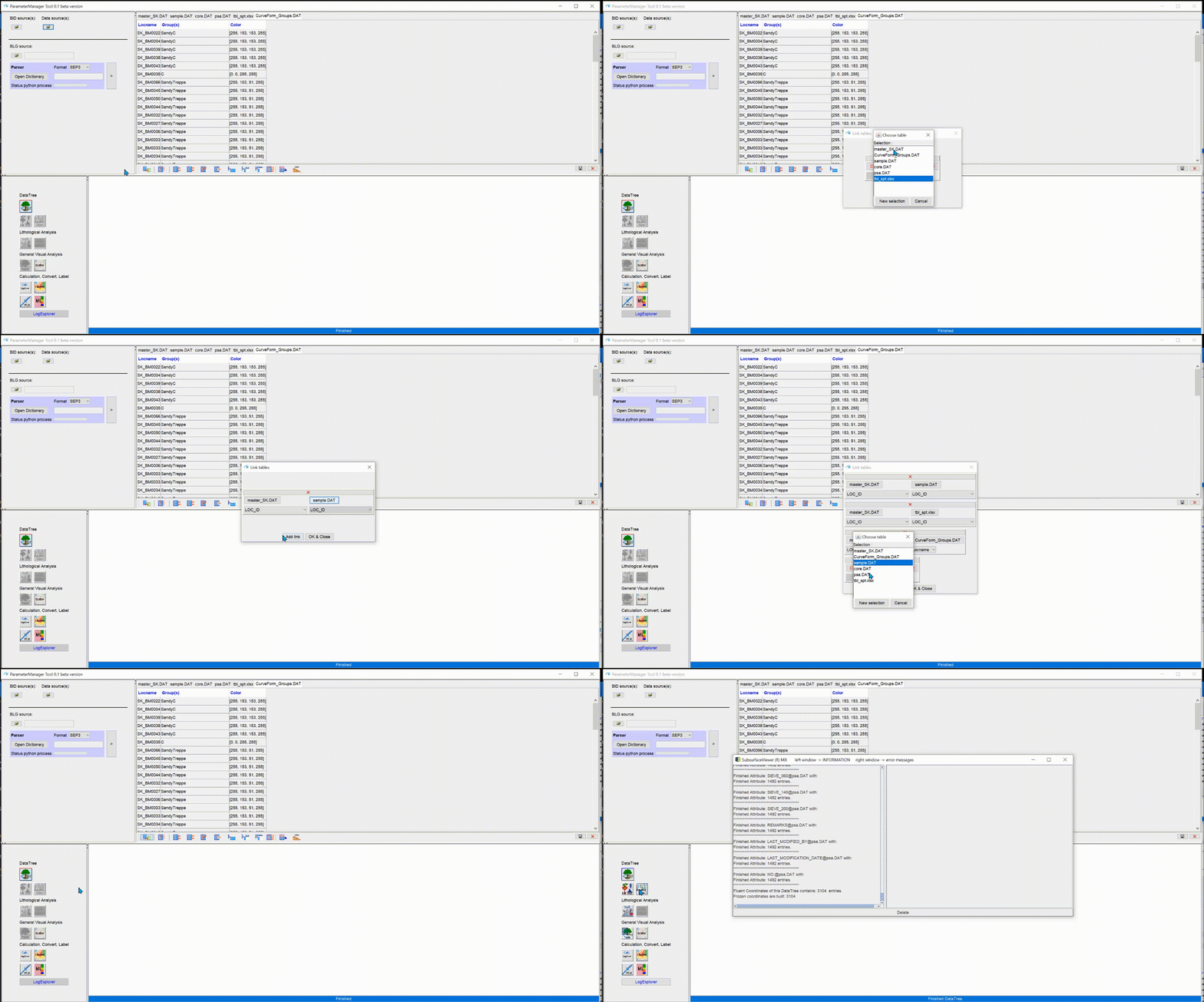
To link tables via a key, open the  icon in the toolbar below the tables on the left. It is shown in the animation below. Select the correct key columns for each file. The programme tries to help you by testing for keys.
When you are done with the links, create the Data Tree.

¶ Create LocView object and view in 3D and Cross-section
In the Parameter Manager go to the button Project View ![]() , and select the target parameter and a location name. Then confirm. Follow the animation shown below to set the Settings of the LocView object. Read the linked article for more information.
, and select the target parameter and a location name. Then confirm. Follow the animation shown below to set the Settings of the LocView object. Read the linked article for more information.
.gif)
¶ Create Parameter File
Go to the section Table extraction in the Parameter Manager. Export the table as a *.bid and *.plg pair. You can load the *-plg file centrally via Project Settings or by adding Drillings and loading the *.plg file there. The parameter files can be used for layer-internal 2D Voronoi maps and be displayed with the regular drilling objects. Follow the linked articles for more information.